
Community
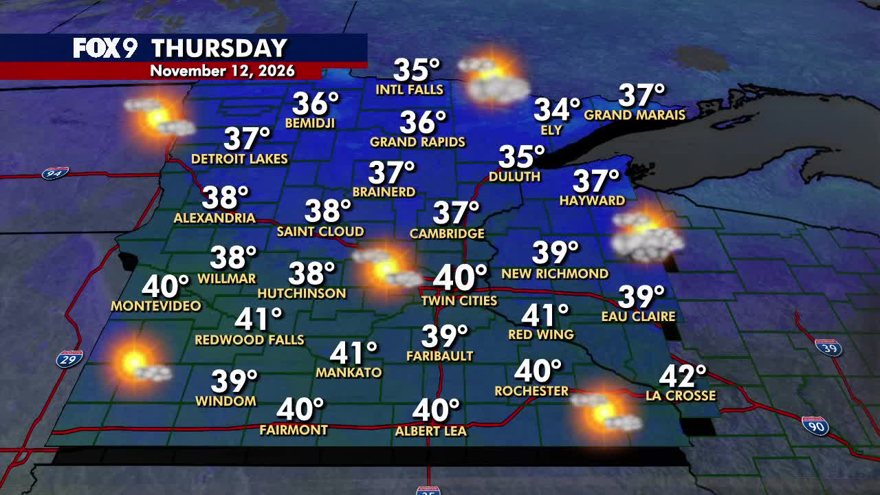
Thursday forecast: Chilly temperatures stick around
By Katherine Langford
Advertisement · Why this ad?
Katherine oversees editorial operations across all six brands. Before joining The Meridan Group, she spent 14 years at the Minneapolis Star Tribune, where she led the metro desk through its digital transformation. She holds a Master's in Journalism from Northwestern's Medill School.
More from Katherine →Full disclosure: I get a cookie every time I mention “El Niño.” Life is good. According to the National Oceanic and Atmospheric Administration, El Niño (cookie, please) continues to strengthen, with a greater than 79% chance this unusually warm stain of Pacific Ocean water will linger into March. So what, Paul? The strongest El Niño (mmm ... chocolate chip) ever observed in the Pacific will keep our steering winds blowing from the west for much of the winter, a relatively mild flow for Minnesota. There are exceptions to every rule. Stratospheric warming events slowing polar jet stream winds might hurl an occasional arctic front south of the border, but that will probably be the exception, not the rule. Advertisement I think it will turn colder around Thanksgiving, but I don’t (yet) see convincing evidence of a polar punch. The sun should be visible from today into Tuesday, with temperatures in the 50s returning next week — 10 to 20 degrees Fahrenheit warmer than average. Low confidence: rain late next week with a cold rain, maybe a little slush before Thanksgiving? Winter is coming, despite El Niño (yum). See the current forecast here .
By Katherine Langford
By Katherine Langford

By Marcus Chen

By Marcus Chen